Product
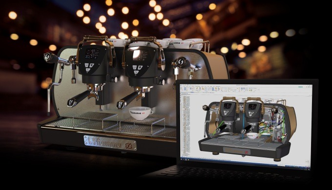
Solid Edge 2022
- Un configurateur, Solid Edge Configurator, qui permet une automatisation basée sur des règles.
- La possibilité d’importer des fichiers provenant de divers logiciels de conception assistée par ordinateur sans conversion préalable.
- Toujours plus de performance dans la gestion des grands assemblages.
- La possibilité de concevoir des assemblages SolidEdge dans un contexte de nuages de points.
- Plus d’échanges avec vos partenaires et clients avec la web plateforme de collaboration Xcelerator.
- De nouveaux outils pour l’usinage 2,5 axes qui sont disponibles avec Solid Edge Foundation, Solid Edge Classic et Solid Edge Premium.
- Des gains de rapidité avec Solid Edge Simulation.
- La possibilité d’exploiter des géométries b-rep et maillés dans un même assemblage sans avoir besoin de faire de conversions.
- Une simulation des écoulements de fluides en 1D avec le logiciel Flomaster intégré dans l'offre SolidEdge.
Nous vous invitons à visiter la page de présentation de la version Solid Edge 2025
Price of the Product
Characteristics of the Product
- Type CAO
- Model Solid Edge 2022
- Brand Siemens
Category of the Product
Company website
Our recommended products and services
-
-
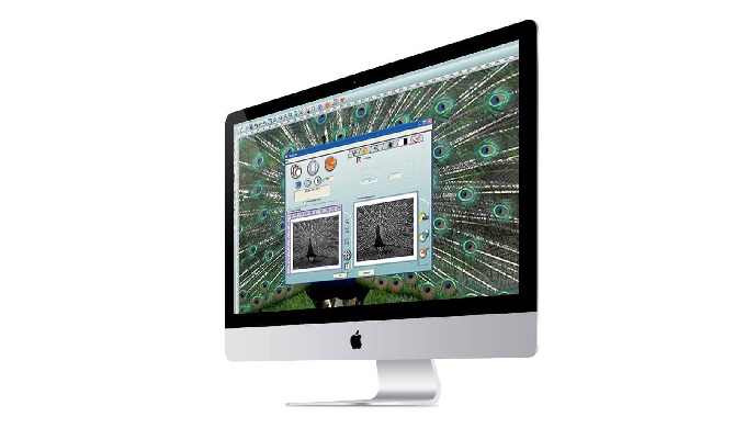
GravoStyle is the first multi-technology software in the world of engraving as it allows you to pilot both mechanical engraving machines and laser marking equipment of CO2, YAG or Fiber technology. Included as standard with all Gravotech devices. Gravostyle is a software that is fully compatible with Windows versions 7, 8, and 10. The same software allows a large number of jobs to be carried out, both in terms of personalisation and identification and signage or industrial marking. From engraving a simple text or logo to crafting a 3D locket, Gravostyle can do it all. GravoStyle is an evolutionary software because it allows you to adapt to the complexity of your work thanks to its levels (Explorer, Discovery, Discovery Max, Industry, Graphic and 3D) and its multiple options. Currently, GravoStyle is already in its version 8, which has incorporated a new interface and many new capabilities. With the same format as the GravoStyle, Gravotech has developed LaserStyle, a specific software for piloting laser machines, fully compatible with Windows versions 7, 8 and 10. It is included as standard with all Gravotech laser machines. The same software allows a large number of jobs to be carried out, both in personalisation and identification, signage, industrial marking and manufacturing. LaserStyle is an evolutionary software because it allows you to adapt to the complexity of your work thanks to its levels (Discovery, Discovery Max, Industry, Graphic and 3D) and its multiple options. Currently, LaserStyle is already in its version 8, which has incorporated a new interface and many new capabilities. Download catalogue.
-
Software TedisNet SCADA-based applications are advanced operating and control tools for electrical distribution networks.
-
Software Rental for Surveying: 3D and Drone | INSTOP Catalunya At INSTOP Catalunya, we offer a comprehensive surveying software rental service, including solutions for 3D modeling, drones, and geospatial analysis. This service allows construction, engineering, architecture, and surveying companies to access professional, cutting-edge tools without the need for a long-term investment. Software Available for Rental: 3D modeling and design: for topographic surveys, civil works, and urban planning projects Drone data processing: creation of maps, orthophotos, point clouds, and digital terrain models (DTM/DSM) Geospatial and GIS analysis: integration of topographic data with GIS and BIM platforms Compatibility with Leica equipment and other professional sensors Benefits of Renting Surveying Software: Cost reduction by avoiding permanent licenses Flexible rental terms, ideal for short-term or specific projects Access to the latest software versions and updates Optimized workflows, integrating drones, total stations, and GNSS Professional training and technical support included if needed Typical Applications: Topographic surveys and terrain modeling Drone inspections and aerial mapping Construction monitoring and urban planning Generation of maps, point clouds, and 3D models for technical analysis Integration with BIM systems for advanced engineering projects 📩 Contact INSTOP Catalunya for professional advice and a personalized quote for 3D and drone surveying software rental.
-


